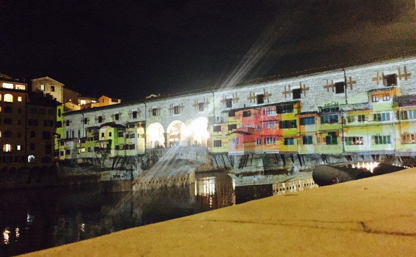
It happened by chance to be near Ponte Vecchio some days ago: it happened by chance to enjoy the projections dedicated to the Florence’s flood of 60s and stare at those symbols who were introducing the level of the Arno river during that disaster…
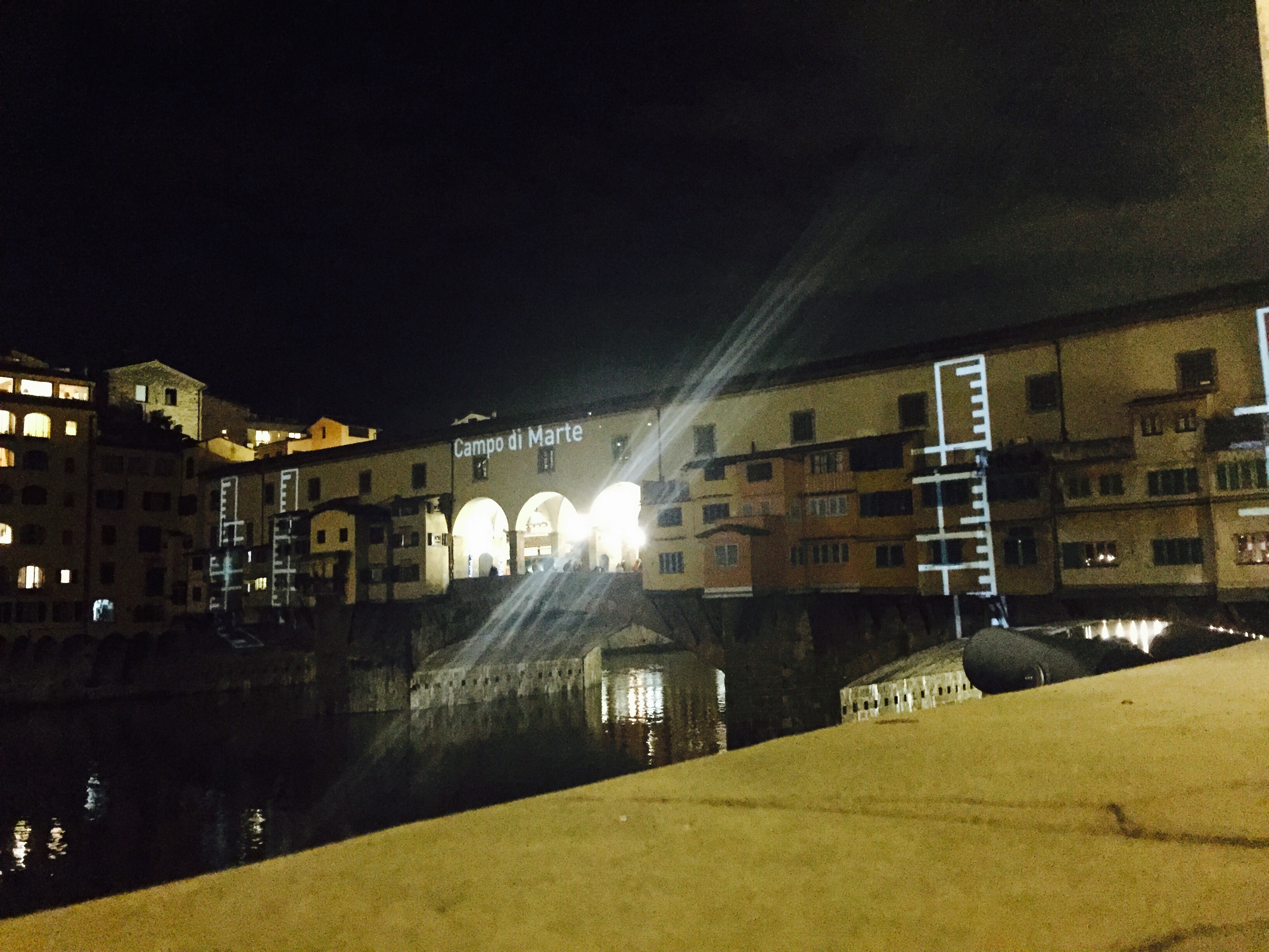 Ruler projections to measure the flood’ level
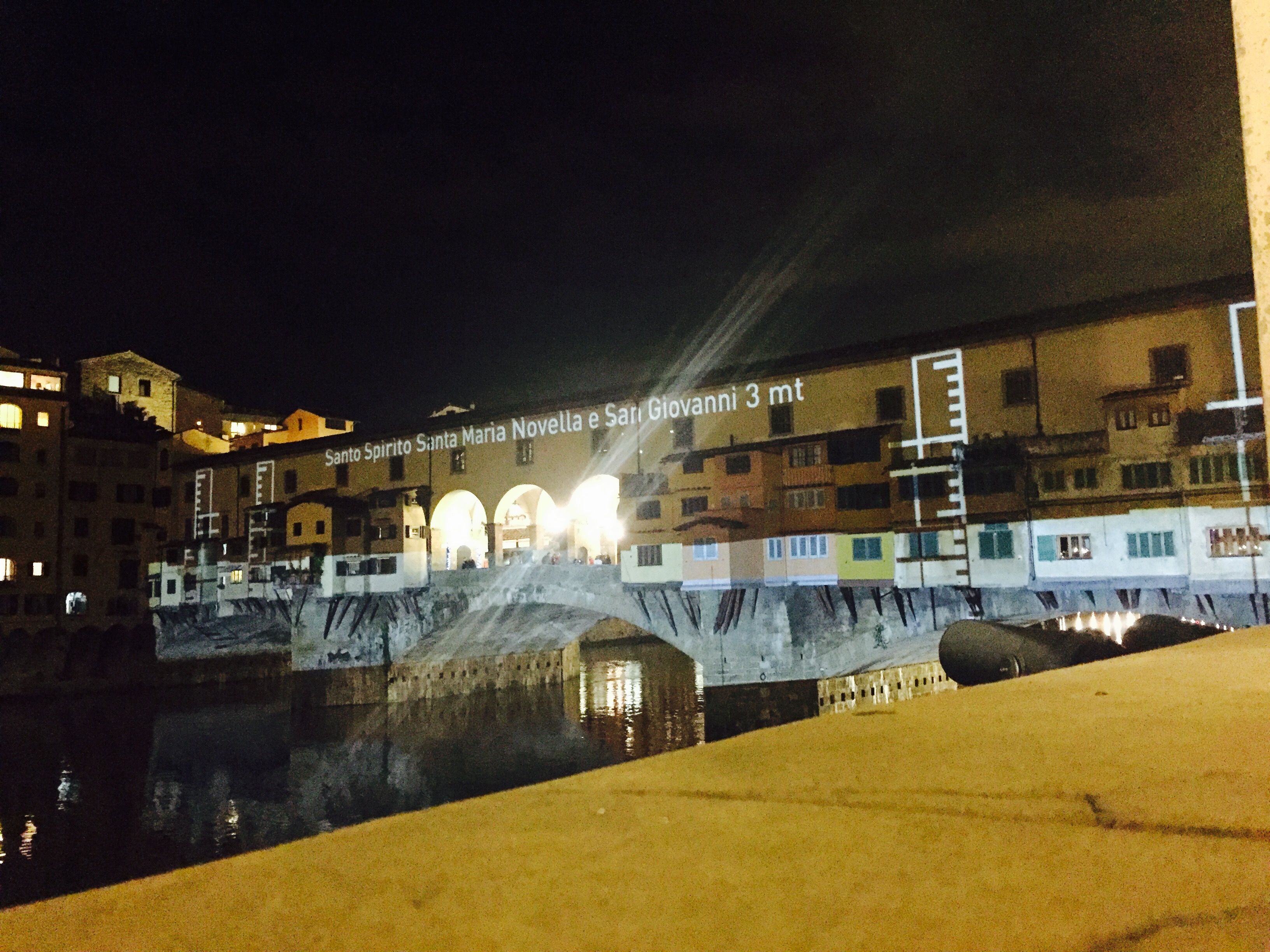 Santo Spirito and Santa Maria Novella and San Giovanni almost completely flood ed by Arno
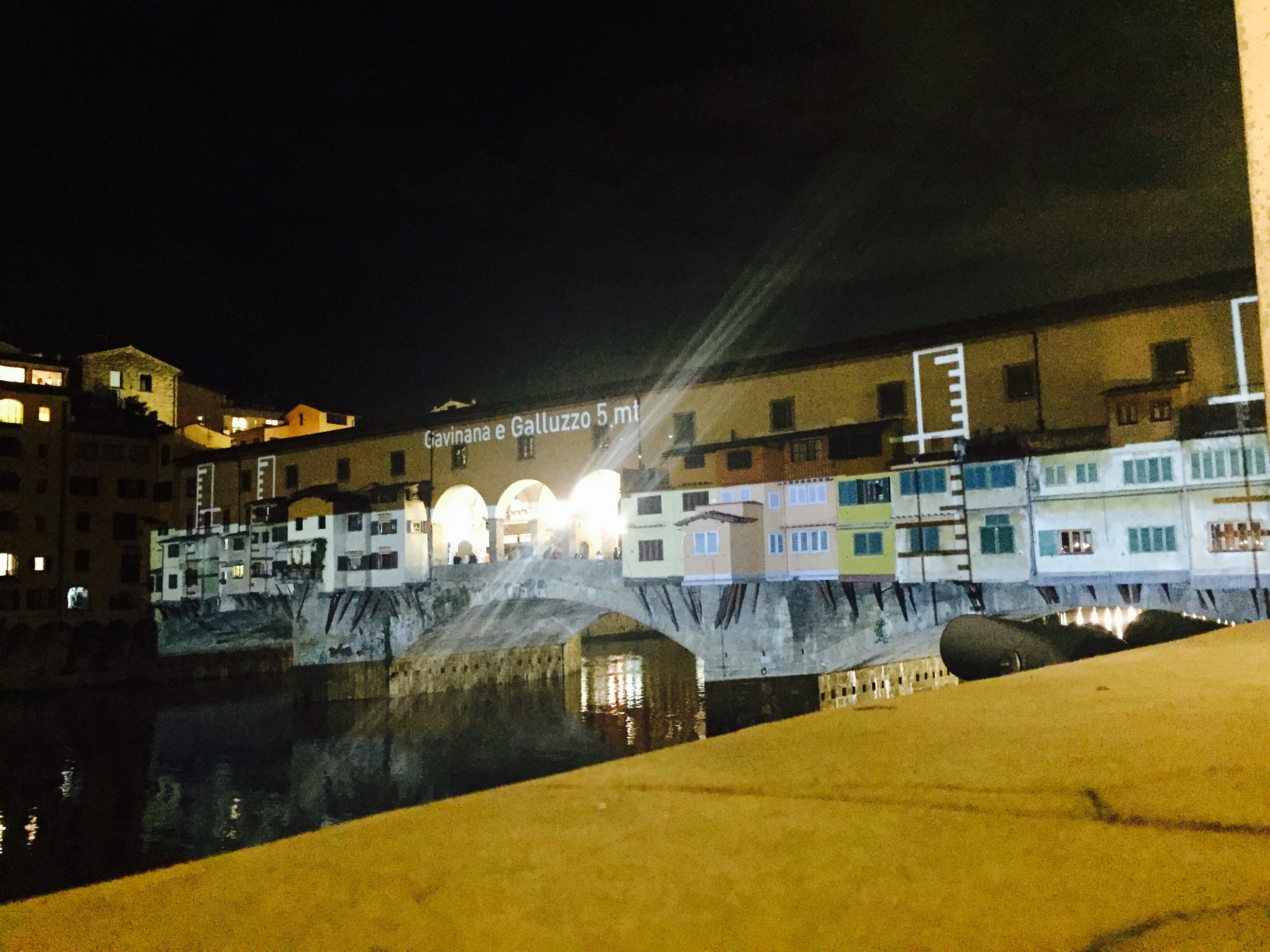 Arno’s level at Galluzzo and Gavinana (Florence areas)
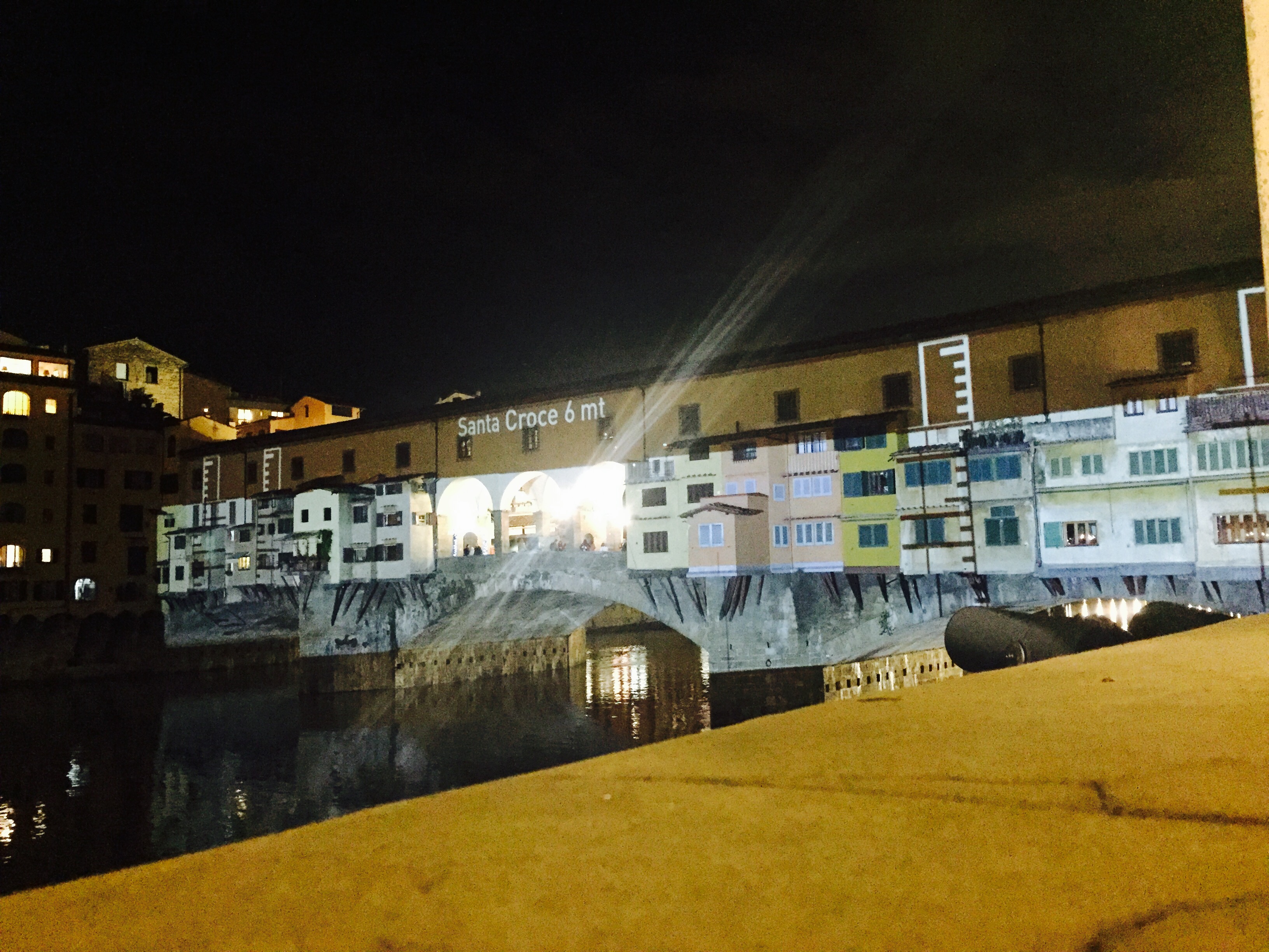 Arno’s level at Santa Croce during the flood
Some of the projections were part of the popular Locchi’s archive (an old and professional photographer of Florence):
 Arno’s flood level
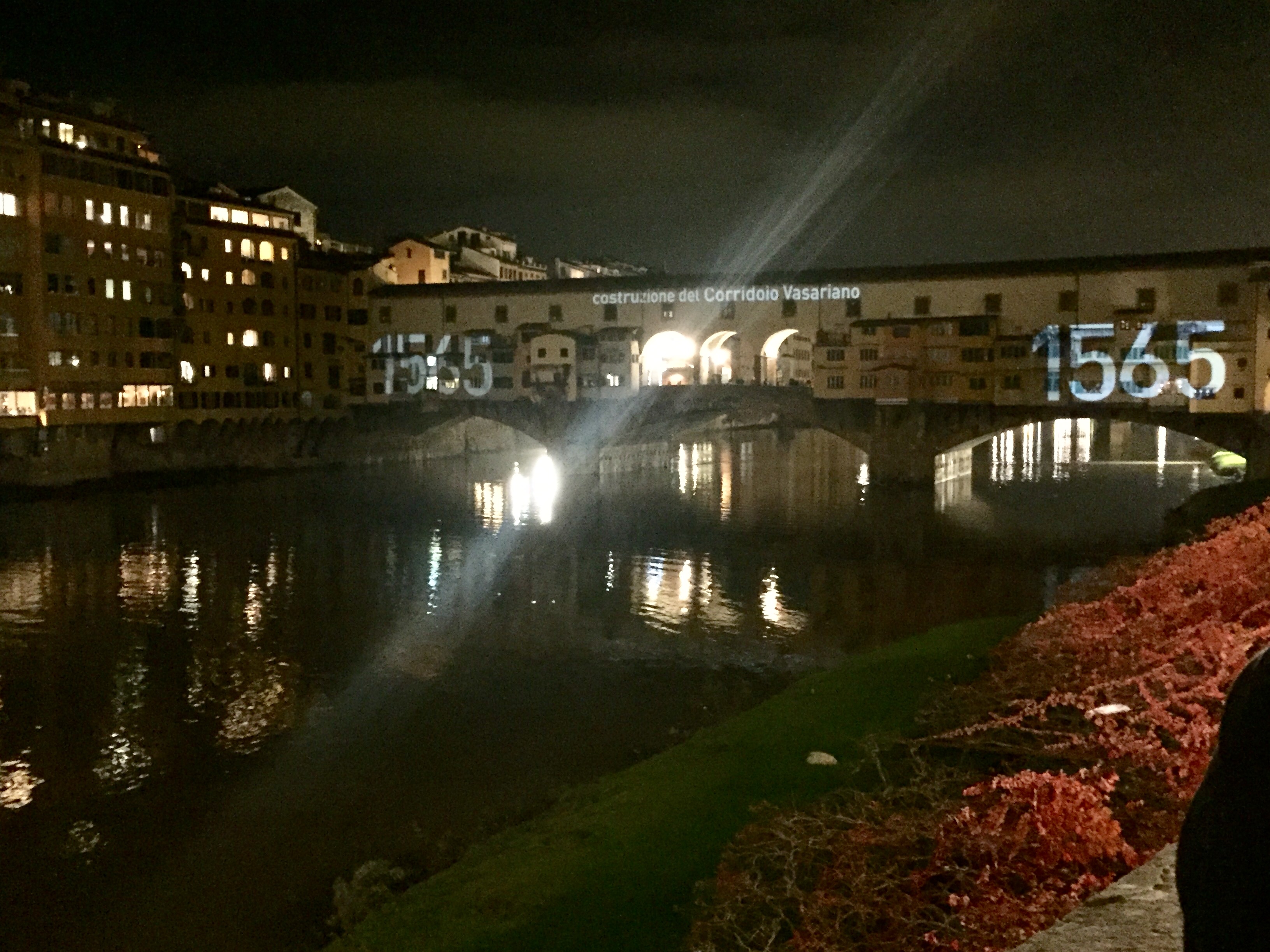
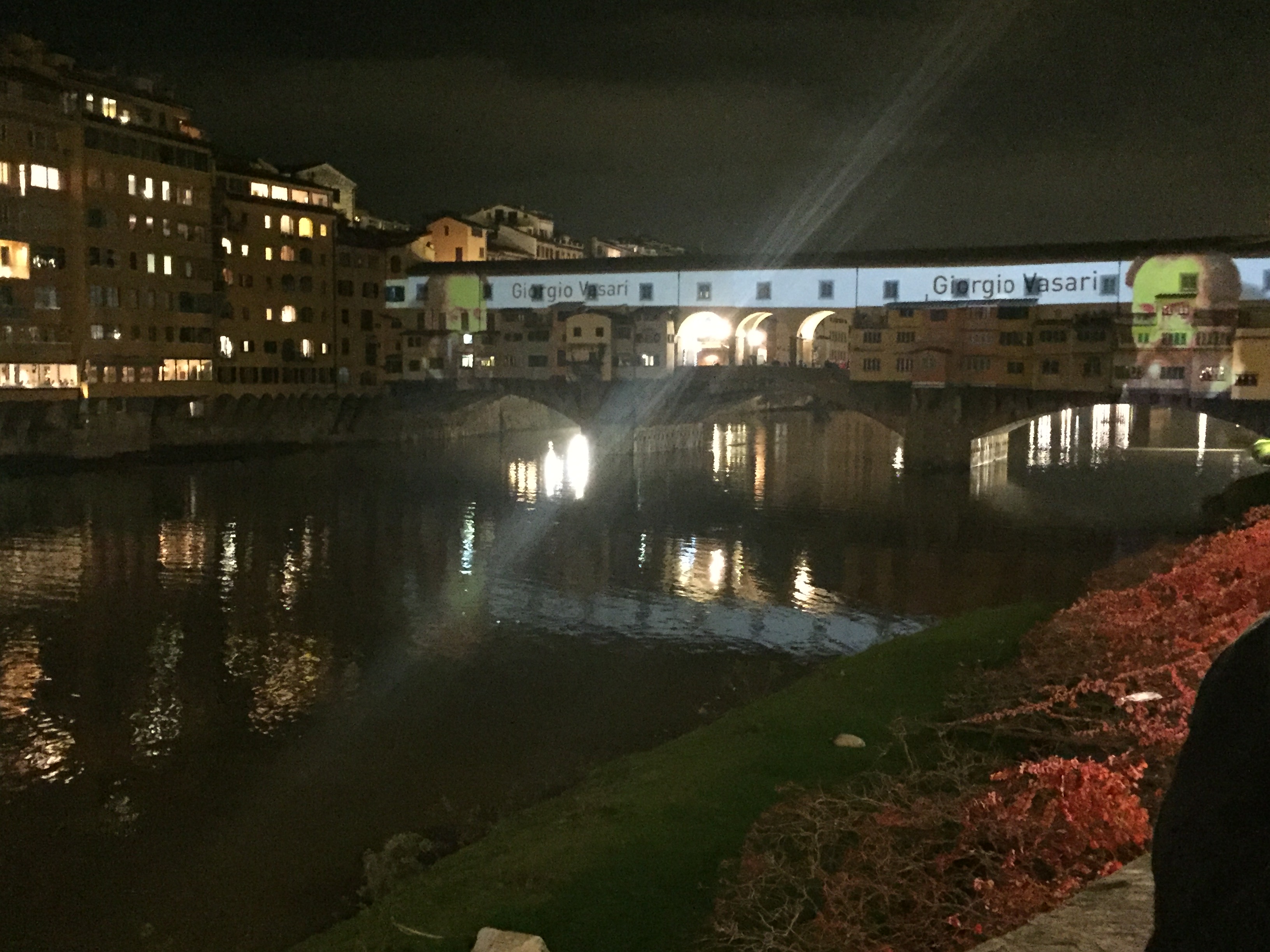 Giorgio Vasari and ‘Corridoio Vasariano’
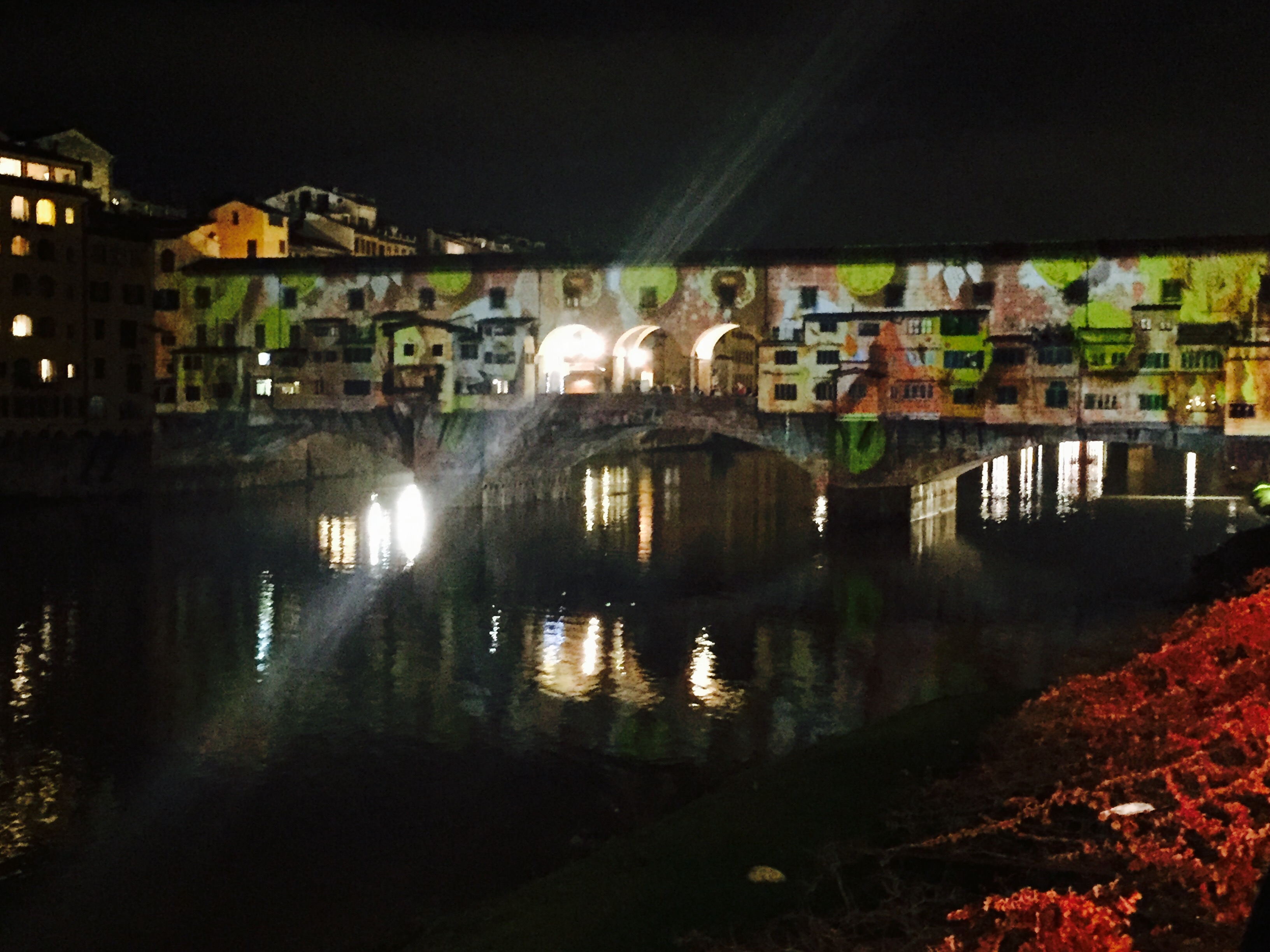
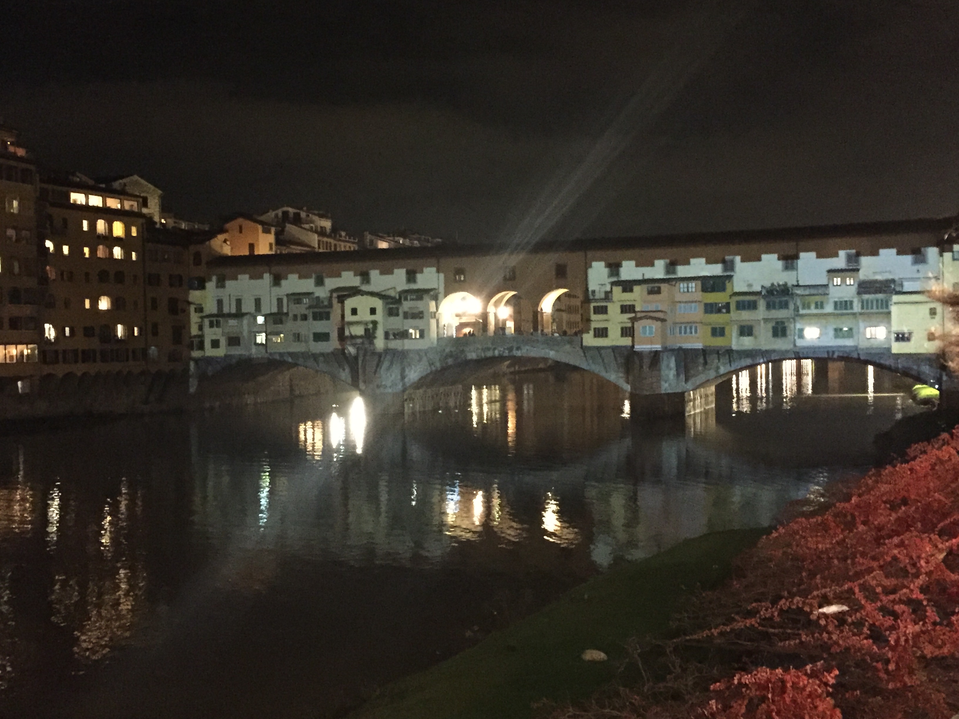
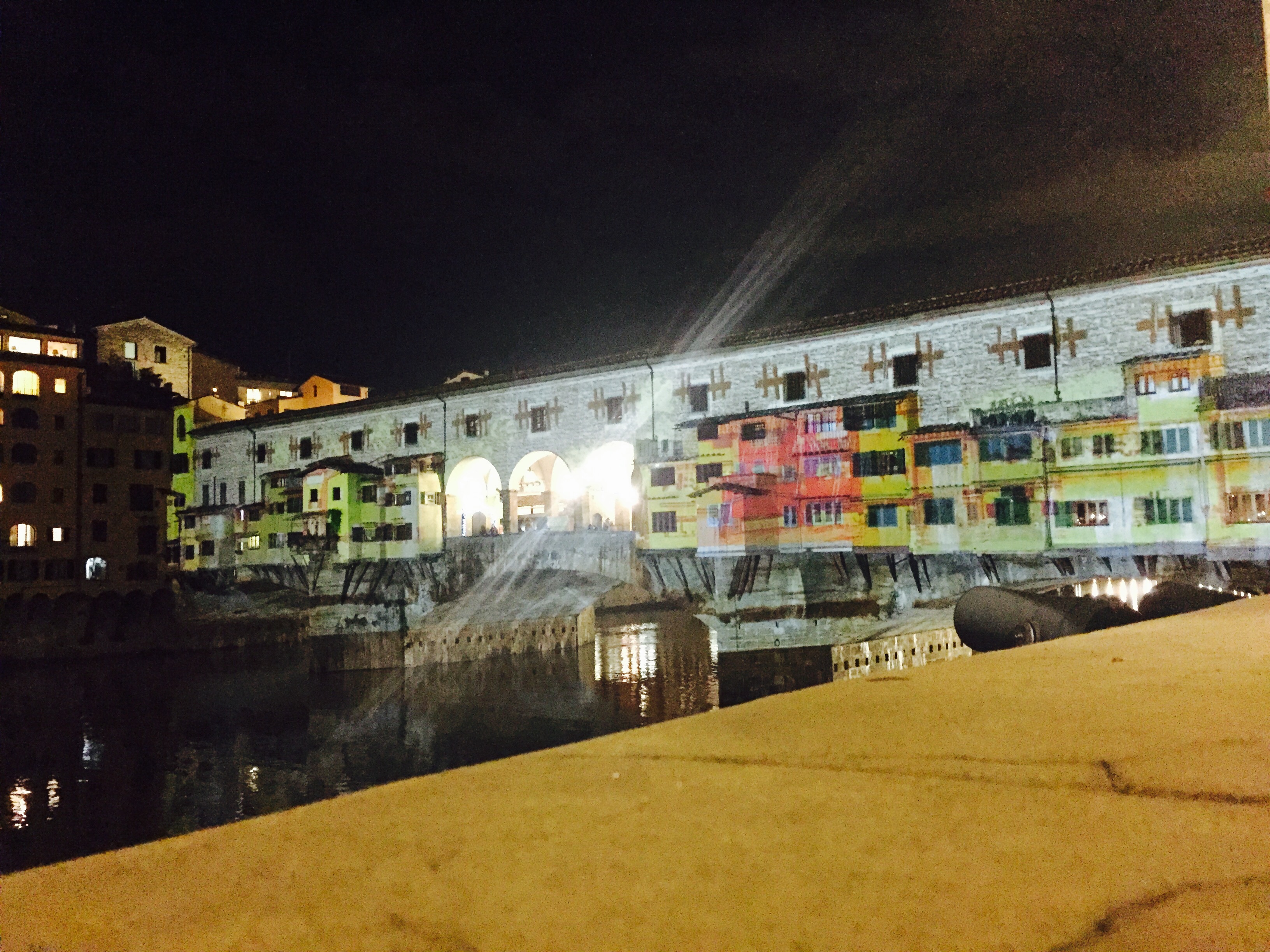
Here you are the last videomapping images:
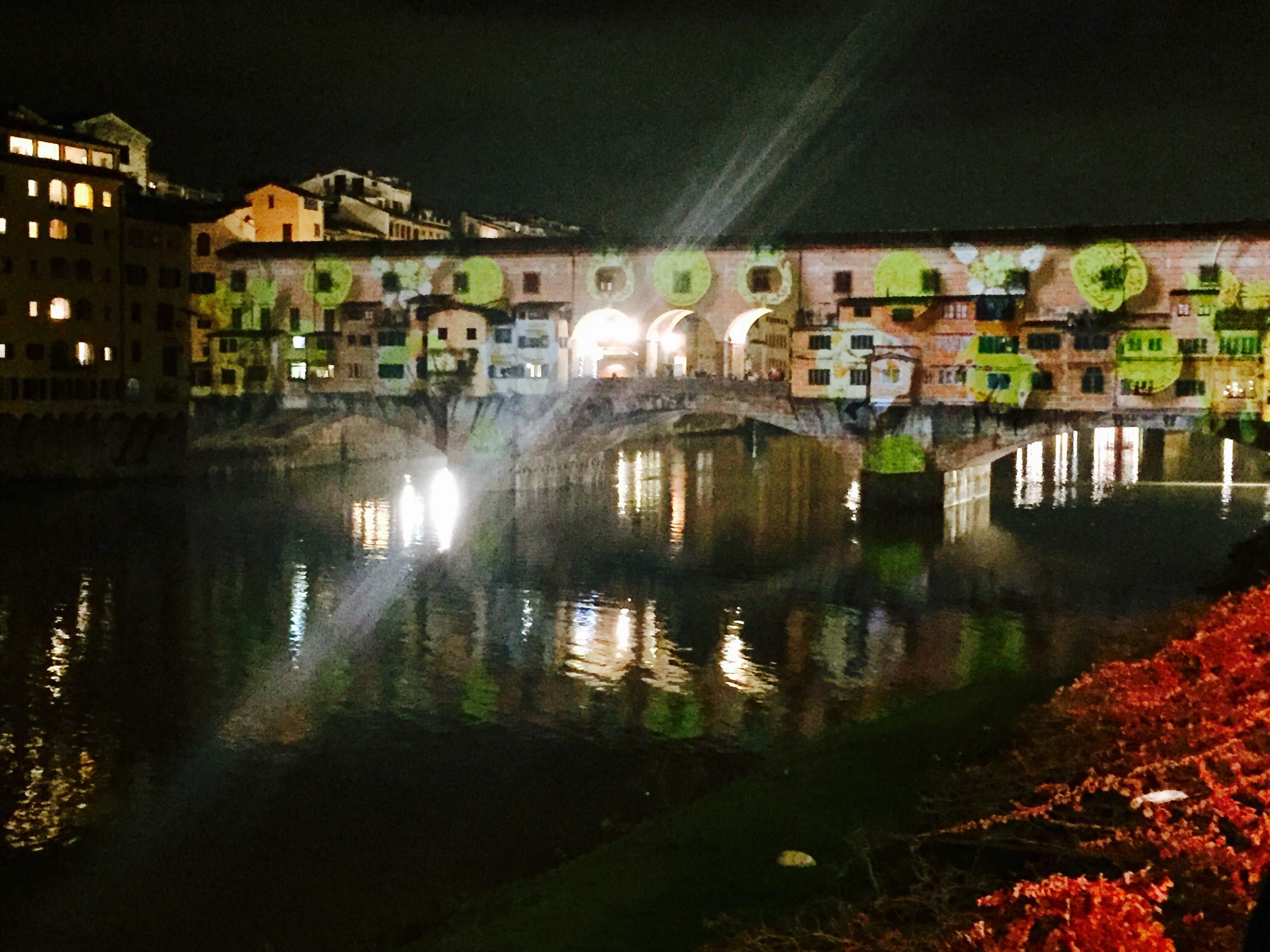 Florence flood projections at Ponte Vecchio
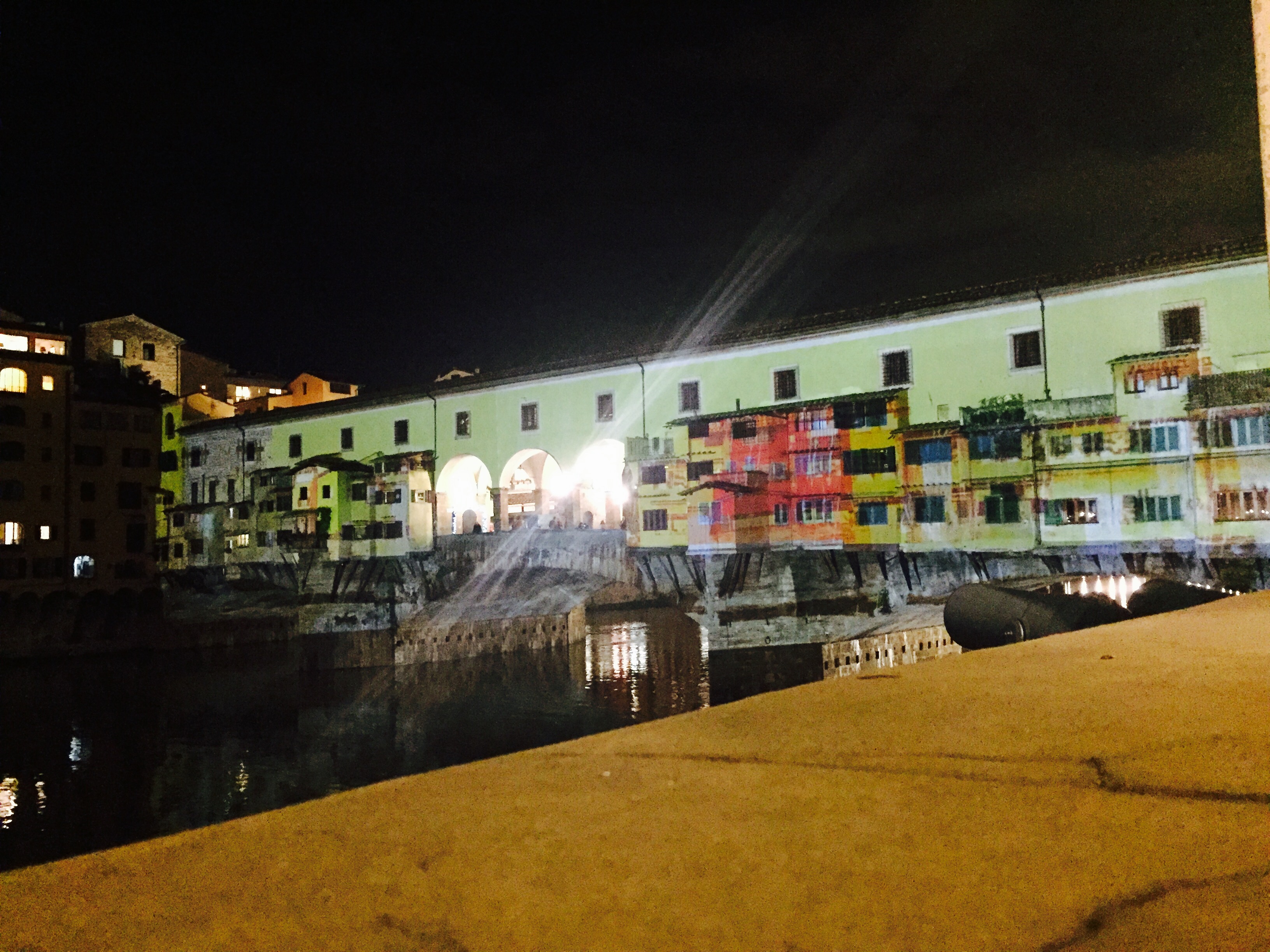
Milestone: 1565: the Vasarian Corridor was built..
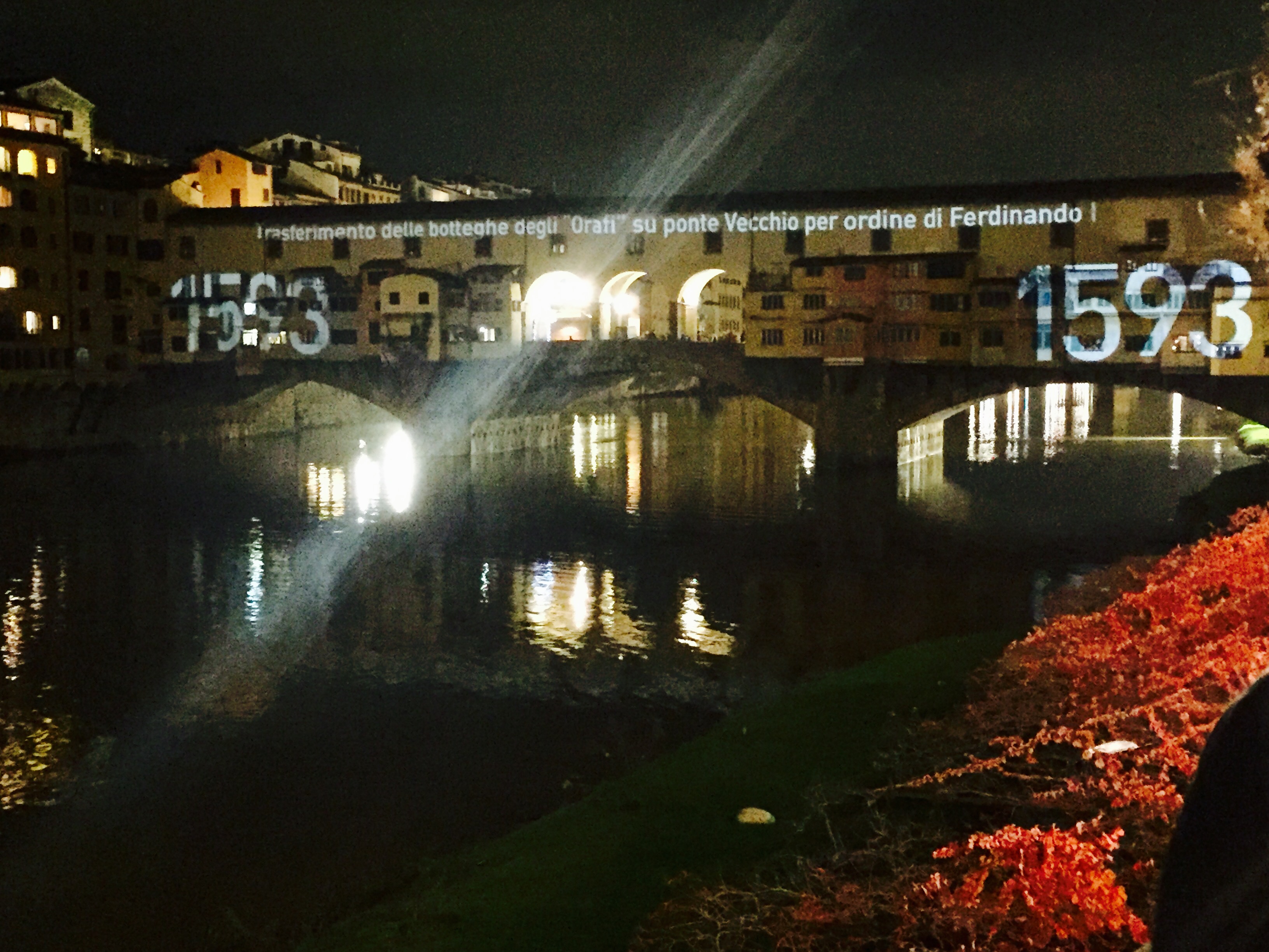
Milestone – 1593: Ferdinando I ordered to all the goldsmiths of the city to move on the bridge:
#OneNoteADay ‘Rivers of Babylon‘ by Boney M. 🌊